| www.lfweathercenter.com | www.lfradar.com HOME |
- Home
- Radar
- Forecast
- Severe Outlook
- Satellite
- Maps
- Graphs
- Gauges
- Reports
- History
- Nearby WX
- Links
- About
- Site Map
| L I B E R T Y F A I R F I E L D W E A T H E R C E N T E R | |
 |
TRI STATERADAR |
| - V I L -- NWS Wilmington - | |
| New image available every 5-6 minutes during severe weather. |
 |
| Warning Box Colors: Flash Flood Severe Thunderstorm Tornado Page loaded: 2026/06/14 - 20:32:31Z |
| CAUTION: Always check time-stamp to verify latest radar image is being displayed ↑ ↑ ↑ ↑ ↑ ↑ ↑ ↑ ↑ ↑ ↑ ↑ ↑ ↑ REFRESH your browser if a more current image may be available |
| WARNING BOXES are updated when a new radar image is available (could be delayed up to 6 minutes).- Refer to the FAA Terminal Doppler Weather Radar for more frequent updates - |
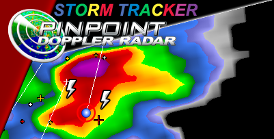
| S t o r m A t t r i b u t e s L e g e n dStorm Tracks are one hour in lengthMarker locations are approximate & may be delayedHeavy Rain, Hail or Damaging Winds may precede the storm core.Lightning Data plotted using a 2.2 mile grid, actual strike location will vary.Storm Attributes are automatically software generated, actual conditions may differ. 
|
Never base important decisions on this
or any weather information obtained from the Internet
Radar Images created using GRLevel3v2 radar display software
Radar and Lightning Data Delivery Service provided by AllisonHouse
Radar Data provided by the National Weather Service
Lightning Data provided by the NAPLN